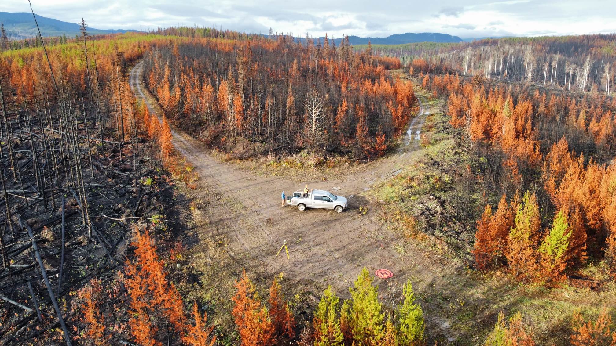
Post-fire Remotely Piloted Aerial System (RPAS) Data Collection at Old Man Lake.
A collaborative effort post-2023 wildfire at Old Man Lake utilized remote sensing and GIS tech to assess damage and plan recovery. RPAS data, spectral indices, and various data sources were employed to generate digital maps for effective salvage and remediation planning.

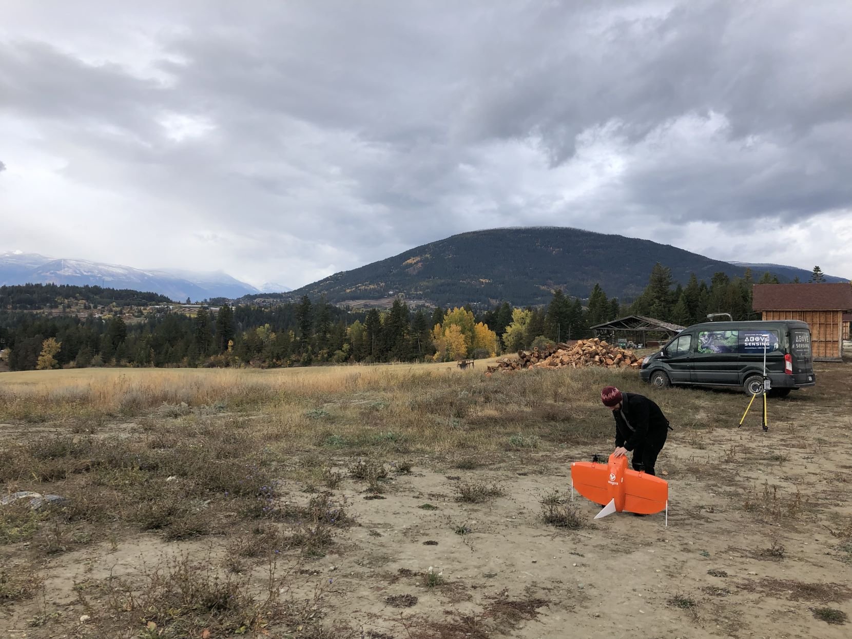
Using Agricultural Drones to Combat Rising Agricultural Input Costs
Drones in precision agriculture offer a transformative solution by leveraging aerial data collection and advanced analytics to optimize crop management practices, enhance yield outcomes, and mitigate environmental impact.

The Riparian Habitat and its Connectivity in Creston Valley
Wildsight Creston Valley Branch in collaboration with Above Sensing Ltd. are launching a pilot project to look at how animals are moving in the Creston Valley as well as the health of riparian areas.

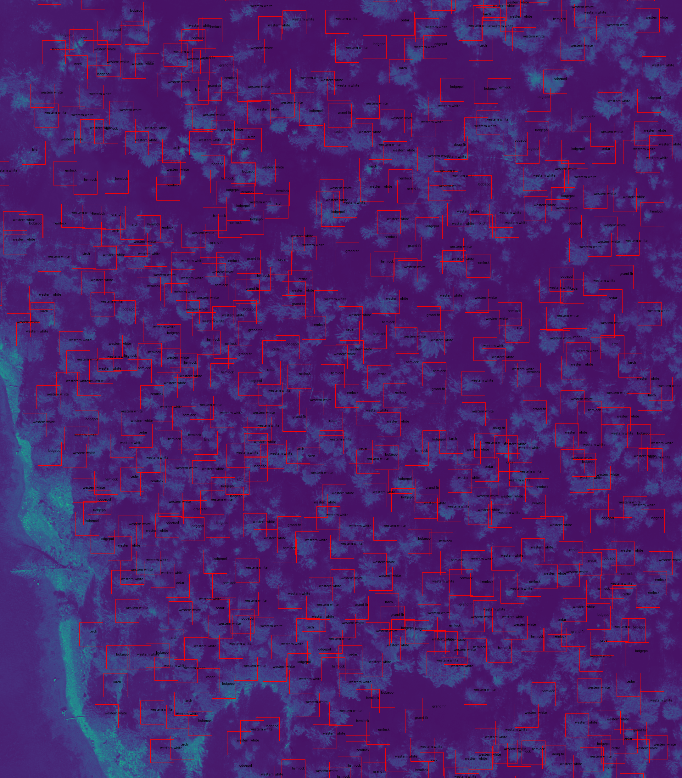
Tree ID in Skattebo
Using drones and machine learning to interpret the data is the new trend in remote sensing. Above Sensing Ltd. partnered up with Mitacs Accelerate, Selkirk College, and ETSI-BC to study the forestry data classification from multispectral images captured with a drone.

Fennel Creek Wetland Mapping Case Study
Wetlands are essential to our ecosystems and society as they provide habitat, flooding regulation, carbon storage, and water filtration. Using drones for environmental monitoring provides great benefits for the local community.

